With ArcGIS, Esri offers one of the world’s best-known software platforms in the field of geographic information systems (GIS). Once a year, Esri organises the Esri Summer Camp on the North Sea island of Föhr. Students from a range of disciplines who are studying GIS and would like to learn more about the software’s capabilities are invited to attend.
I first heard about the summer camp whilst working on my Bachelor’s thesis. As I was working with various Esri products at the time, my supervisor, Prof. Dr Angela Blanco-Vogt, drew my attention to the programme.
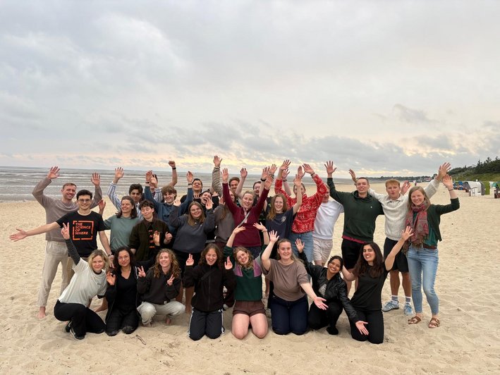
Together with around 20 students from Germany, Sweden and the Netherlands, I spent a week on the island of Föhr. The camp is aimed at both beginners and those with more advanced knowledge. As well as students on traditional geoinformatics degree programmes, students of geography, geology and other disciplines with a GIS focus also take part. The week consists of GIS workshops, leisure activities and a project.
The workshops were structured to offer suitable content for every level of experience. Beginners, for example, were able to familiarise themselves with spatial analysis in ArcGIS Pro, whilst more advanced participants explored topics such as GeoAI or reality mapping with ArcGIS in greater depth. This meant that everyone could learn something new in line with their own level of knowledge.
Alongside the workshops, there was plenty of time during the week to work on a GIS project of their own choosing, either in small groups or individually. This allowed participants to apply what they had learnt directly, build on their existing knowledge and pursue their own interests. At the same time, these project phases provided ample opportunity for professional exchange and mutual support.
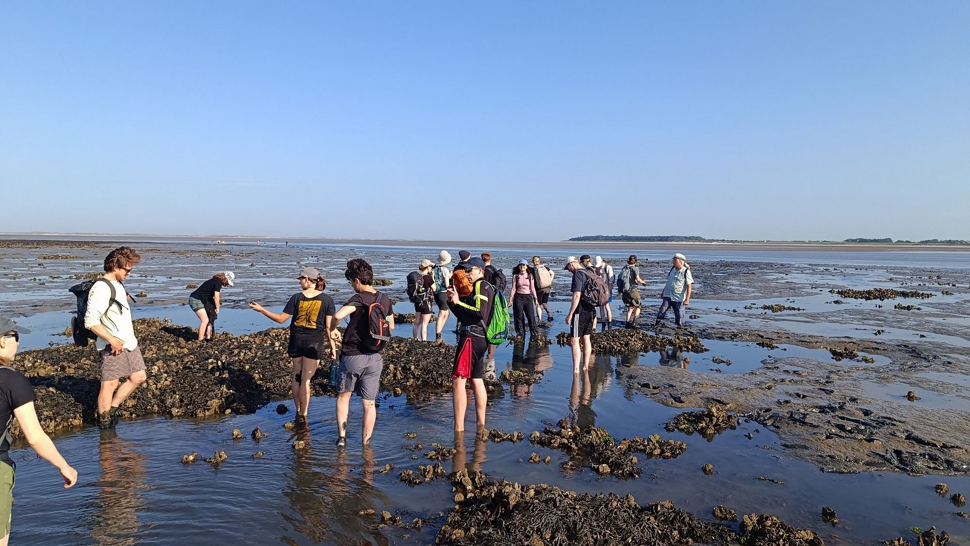
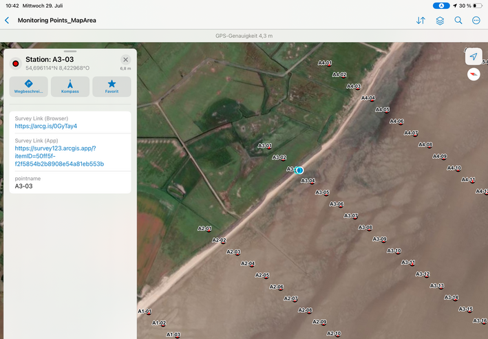
Of course, the week wasn’t all about GIS. The programme included numerous group leisure activities such as cycle rides across the island, a guided mudflat walk to the oyster beds, beach volleyball and swimming in the North Sea. A particular highlight was the study in the Wadden Sea, carried out in collaboration with the Wadden Sea National Park using Esri’s field software. Among other things, we examined seagrass and other plant species and gained fascinating insights into the ecosystem.
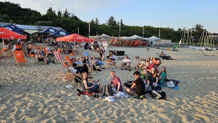
Even outside the official programme, there was no shortage of a sense of community. Evenings spent together on the beach, plenty of conversations and the chance to chat with students from different disciplines made the week a special experience.
I can recommend the Summer Camp to anyone interested in GIS. The camp offers a particularly good insight and the chance to explore the subject further for students in their third to sixth semesters of the Surveying and Geoinformatics degree programme. However, students from other degree programmes or semesters are also welcome to take part.
Another plus point is that, apart from the journey to and from Föhr, all costs are covered by Esri. The application period usually closes at the start of March, and the summer camp takes place at the end of July on Föhr. Anyone who is interested or requires further information is welcome to contact Prof. Dr Angela Blanco-Vogt.
gis-iq.esri.de/gis-without-borders-the-first-international-esri-summer-camp-2026