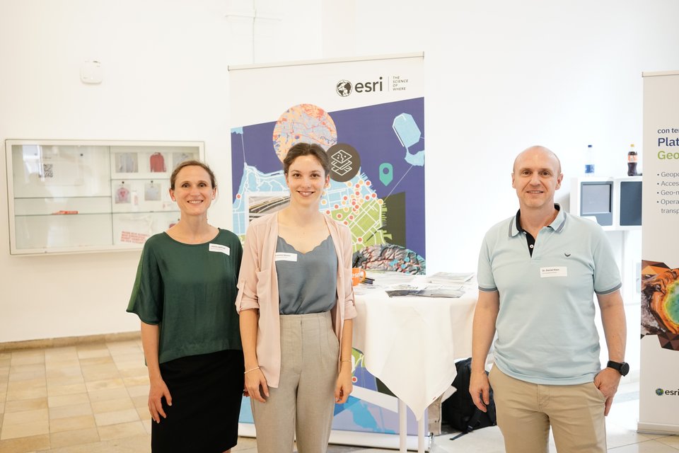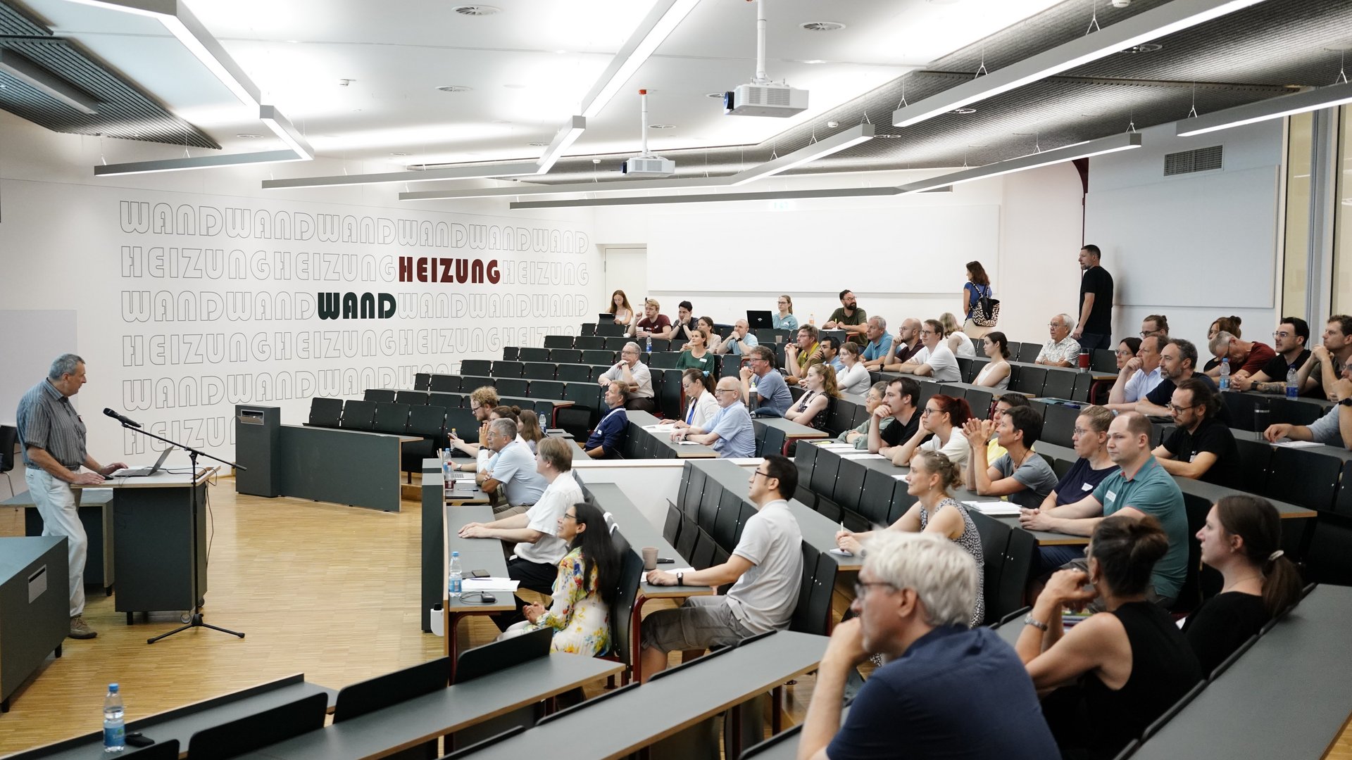
The Department of Surveying welcomed over 90 guests to the 19th Esri User Conference at HFT Stuttgart. Once again, successful case studies from local authorities and districts were presented. In these cases, geoinformatics applications were used to gain useful insights and provide a solid foundation for planning. Current projects by students on the Bachelor’s programmes in Surveying and Geoinformatics and the Master’s programme in Photogrammetry and Geoinformatics were also showcased, along with opportunities for networking.
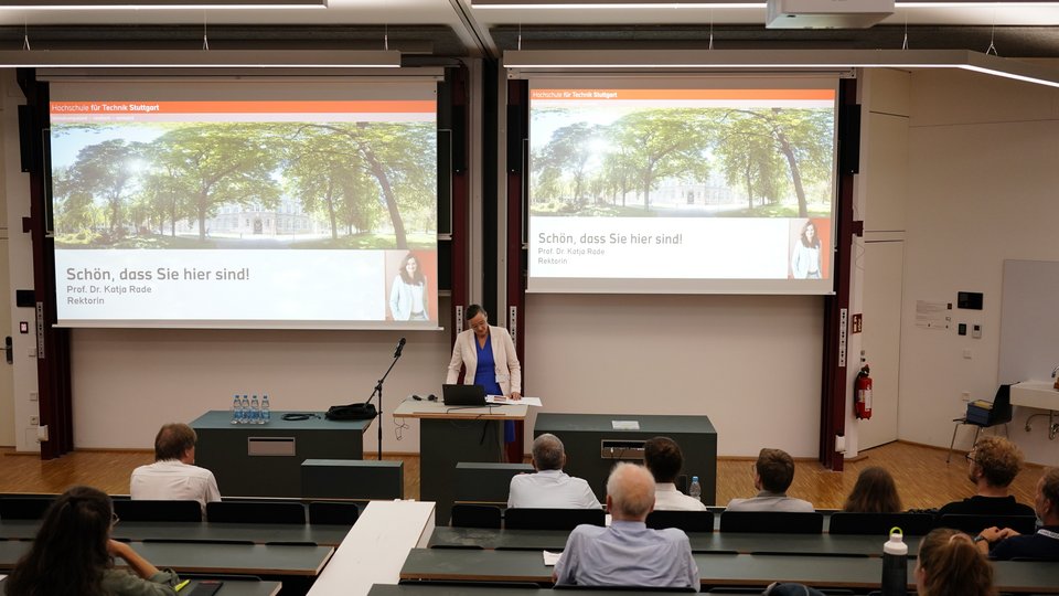
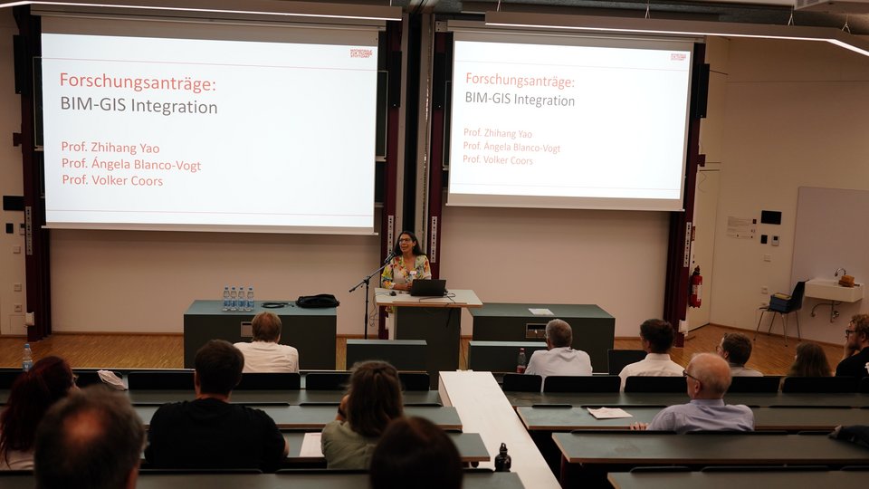
“Making the invisible visible” is the aim of GIS systems, emphasised HFT Rector Prof. Dr Katja Rade in her welcome address. They enable more informed answers to the question “How do we want to live?” Prof. Dr Ángela Blanco-Vogt and Prof. Dr Dietrich Schröder presented current Bachelor’s and Master’s theses from the University of Applied Sciences. Many of these focus on the topical issue of responses to climate change.
Jasmin Seifried (Esri Deutschland GmbH) outlined the latest developments from Esri. Whether admin or AI tools, Esri’s GIS applications are constantly being further developed; for example, ALKIS parcel data is now also available in the Living Atlas. For example, Google’s 3D tiles are currently in preview, with an XR viewer set to follow in 2027.
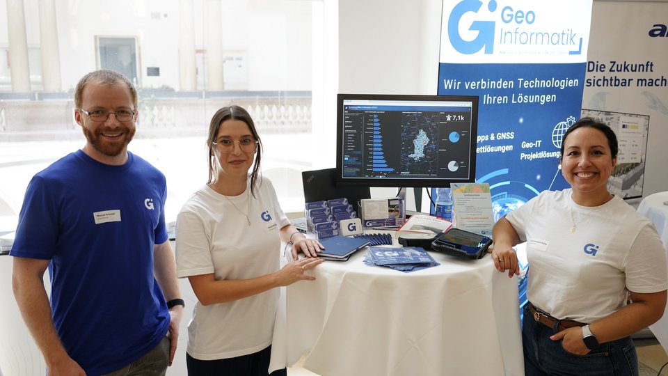
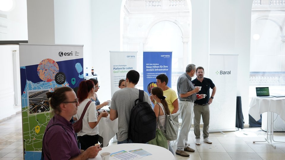
Also in attendance were Esri partners alta4, Baral, frox, Con.terra, GI Geoinformatik and VertiGIS, who presented their services and products in short talks and through one-to-one discussions at their stands in the accompanying trade exhibition.
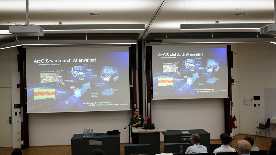
Amelie Schroth (HFT Stuttgart) spoke about the implementation of Sentinel-2 data in a local authority GIS to visualise vegetation conditions and changes, whilst Michael Nowak (Konstanz District Office) explained how ‘geodata can be used easily’. He provided an overview of the new web GIS for the district of Konstanz. The team from the Esri R&D Centre in Stuttgart explained ‘how reality mapping can serve as the basis for a digital twin’. Raphael Rolli (Karlsruhe District Office) illustrated how this might work in practice in his presentation ‘Esri as a building block in the municipal geodata twin’. Gerrit Bernstein (City of Ulm) described the ‘use of ArcGIS Story Maps by the City of Ulm’. The presentation ‘The Path to Pforzheim’s First GIS City Map’ by Friederike Kafka and Alexander Ring (both from the City of Pforzheim) focused on the transition from graphics software to Esri solutions for creating a city map. To conclude, Lizanne Hauser from Esri Deutschland GmbH presented several of the new AI features of the Esri software package in her talk ‘2 Spotlights: How Esri Uses AI // Rapid Preliminary Building Assessment with ArcGIS’.
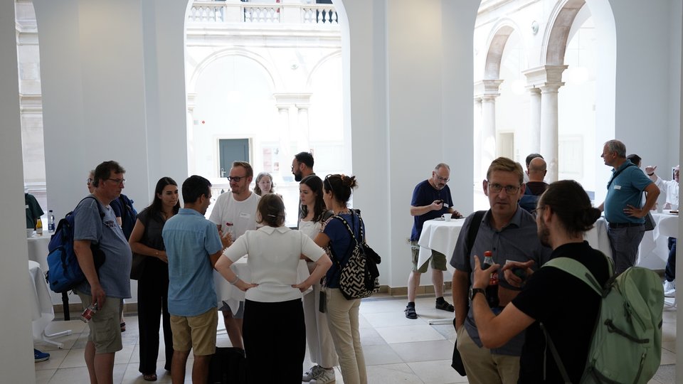
In addition to the technical presentations and the trade exhibition, the 19th ESRI User Day once again offered plenty of opportunities for discussion and networking.